Data Plays Traffic Cop
Not so long ago, local government authorities in Australia relied on pneumatic tube counts and manually collected traffic surveys to collect data.
A frequent sight on some Australian roads was a lone council worker, often in a white coat, with a clipboard writing down observations of the traffic going by.
Once transferred by hand to other documents, this information was then the basis for road and traffic planning in a different era.
Come the 21st century and many local councils, as the local tier of government is called in Australia, have embraced open data. They use it as a critical driver for their decision-making.
Local politics is a very passionate area, with neighborhood organizations often in conflict with developers, many of whom have links to the council.
In these situations, having reliable data and a single source of truth has often had the advantage of de-politicizing issues. If the data is collected accurately, it has integrity that can’t be questioned.
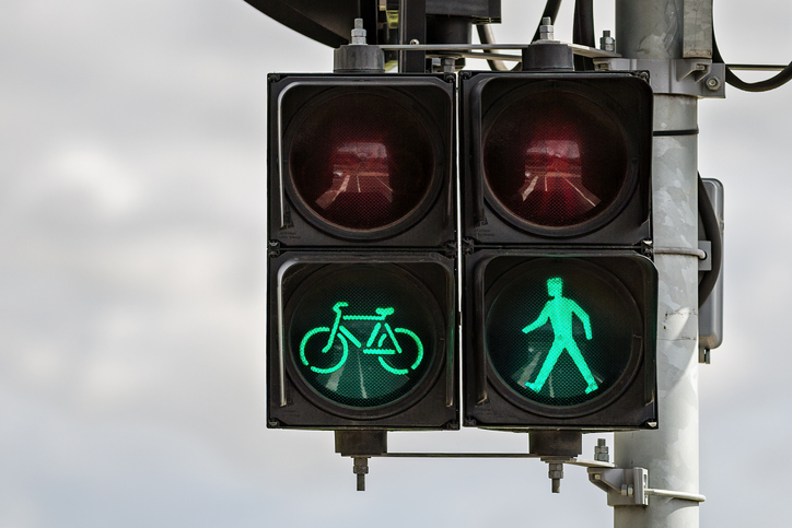
Green light for traffic data
Roads and traffic infrastructure remain a crucial area of council responsibility. This area has been one of the fastest to embrace the new era of data.
In both Melbourne and Sydney, councils have access to the Insight solution offered by Melbourne-based company Intelematics, which is part of the historic motoring organization the RACV.
This month, Intelematics released the most comprehensive road traffic data platform for Victorian roads, covering more than 21,000 kilometers, 32 local government areas, and 566 suburbs.
Using three billion data points collected from a network of wireless road sensors, cameras, and connected vehicles, Intelematics’ Insight tracks vehicle types and identifies the busiest intersections.
Data is refreshed automatically every 15 minutes and is validated against real-time information from road authorities to produce 96% accuracy.
The Insight platform’s growth has been driven by the success of a 2018 project, where Intelematics data was used in the AUD 100 million upgrade of four key Melbourne intersections in busy Hoddle Street and proved a reduction in peak hour congestion by up to 14%.
In that project, actual road speeds were compared from 6.30 to 7.30 am on the same day in August, but two years apart. It was seen that the actual speed was faster in 2019 than in 2017 before the upgrade. But outside of these periods, speeds were the same.
Insight has also been operational in the neighboring state of New South Wales for a year. It covers more than 19,000 kilometers of roads.
It is already showing significant changes to road use due to the COVID-19 disruptions, proving that local roads are subject to much heavier traffic volumes as a result of people staying and working from home.
Because the data platform holds data from the pre-COVID-19 period, planners can see the pandemic’s impact on road use as they plan for a post-COVID-19 future. It is one where many people will continue to work remotely and where social distancing may need to become the norm.
The data now tells them about traffic volumes, helps them to understand the most congested and dangerous roads, defines the types of vehicles on the road, and analyzes turning volumes and speeds at intersections.
This is relevant not just to local councils but to all the stakeholders involved in planning Australia’s future cities.
Engineers, planners, and architects can plug into the data to improve decision-making. Third parties can also use it to drive new products and innovations such as parking and route planning.
Aggregated with other data on pedestrian flows and volumes and public transport, the potential exists to get a complete picture of the vehicle and human movement.
AI is a double-edged sword
Add in layers of artificial intelligence and automation technology. The potential is significant, as is the gap between where we are today and where we might get to.
Australia has been a comparative laggard in embracing the movement of Mobility as a Service (MaaS), for example. Still, data will play a vital role in the development of future MaaS solutions.
The vision is to combine multiple modes of transport and make them accessible on the same app on a personal smartphone. This will help citizens move smoothly and sustainably through their cities and make new services and businesses more viable.
No number of council workers in white coats armed with clipboards could have driven these changes.
Cities have an exciting and smart future, and it’s primarily thanks to the collection, aggregation, and analysis of data.
Lachlan Colquhoun is the Australia and New Zealand correspondent for CDOTrends and HR&DigitalTrends, and the editor of NextGen Connectivity. His fascination is with how businesses are reinventing themselves through digital technology and collaborate with others to become completely new organizations. You can reach him at [email protected].
Image credit: iStockphoto/Andrew Haysom


