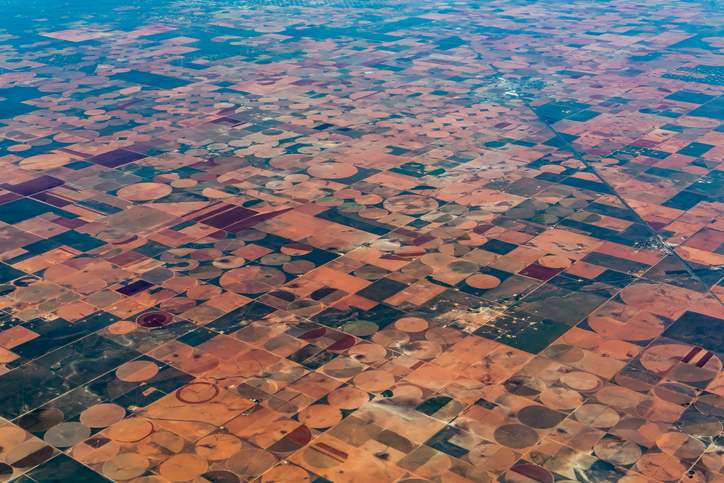
Satellites Capture Illegal Land Clearing in Australia

Images taken from the European Space Agency’s Copernicus Sentinel-2 mission have resulted in an Australian local government organization being fined for illegal clearing and breaching environmental protection laws.
The Shire of Lake Grace council in Western Australia was fined AUD75,000 after being found guilty of unauthorized clearing of native vegetation and was also ordered to pay AUD788 in court costs.
The Department of Water and Environmental Regulation (DWER) took legal action based on evidence provided through accessing satellite images from Copernicus Sentinel-2.
The images detected that native bushland was being cleared without permits to extract gravel for roadworks.
The space project provides high-resolution imagery to detect land changes. Its objectives include land monitoring, security, and climate change.
Using satellite imagery, DWER found that the council had cleared 1.7 hectares within a water reserve surrounding a dam.
Images from the Copernicus Sentinel-2 are available to download free of charge. They have been used recently to monitor aspects of the war in Ukraine.
For example, the satellite has provided images of the Nova Kakhovka dam, which Ukraine claims is being targeted for explosion by Russia. It also captures images of the region surrounding Kherson that is seeing heavy fighting and provides image proof of the methane plume that rose into the atmosphere near Denmark and Sweden after the Nord Stream gas sabotage.
Less controversial were images of the “flowered desert” phenomenon in northern Chile at the end of last. Every five to ten years, the Atacama Desert, the driest place on the planet, erupts into flower and transforms the landscape with purple, yellow, red, and white blooms.
The mission captured images of the event, helping scientists understand that it extends for 1600 kilometers, much further than was previously thought.
Image credit: iStockphoto/Richard McMillin


